
Image enhancement operations are performed on pictures to ensure they are clearer and easier to interpret. A computer screen shows pictures using three layers or bands – red, green, and blue.
Multispectral images are made of three layers or more, but we only need three layers to show the picture on the screen. The image bands can be displayed in different formations to get new data. Here, we will explain band combinations, satellite thermal imagery, and false-colour imagery.
Satellite Imagery Band Combination
The Landsat-8 satellite provides pictures in a variety of band combinations such as Bathymetric, geology, and agriculture, those help experts extract data from the pictures.
Natural colour
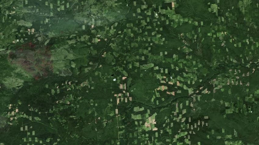
This combination consists of a red, green, and blue layer that almost matches what we can see with the naked eye. It depicts healthy trees as green and unhealthy ones as brown. Features in cities appear grey, while water can be seen in dark blue.
Colour infrared
It is also known as near-infrared (NIR) and consists of NIR, red, and green. The colour infrared is very vital in analyzing vegetation because the chlorophyll in leaves reflects NIR light.
Short-wavelength infrared
It is made up of SWIR-2, SWIR-1, and red. Here, trees are represented as green. If the vegetation is dense, then green will be darker. If it is spare, then the green will be lighter.
Agriculture
Its most frequent application is in crop monitoring due to the presence of short wave infrared and near-infrared. It represents healthy trees as dark green and consists of short wave infrared-1, near-infrared, and blue.
Geology
This brand has a combination of SWIR-2, SWIR-1, and blue. As the name suggests, it is very helpful when identifying geological features.
Bathymetric
It consists of red, green, and coastal bands which are used to survey water bodies. This band combination is generally used in water, coastal, and air research.
Vegetation index
It uses a mixture of red and NIR bands. This index is very useful when monitoring plant health. For example, the NDVI value spans from -1 to +1, where high values represent healthy and dense vegetation.
Band Combination Thermal
There are lots of applications of ground thermal imaging. For example, checking the insulation of a building or in the military for night operations. These applications cut across different fields from surveillance to healthcare and firefighting.
Using thermal imaging, experts can measure the amount of IR from any object. This is because surfaces that have temperatures above absolute zero spontaneously emit infrared radiation. So, the objects can be identified even at night.
This technology is also heavily used in earth observation systems or satellites to monitor droughts, climate change, wildfires, and more. These satellites are equipped with sensors that have thermal bands. However, they often have a low spatial and temporal resolution. The sensors that are attached to manned aircraft and planes have a slightly higher resolution but are more expensive to run.
Experts use land surface temperature (LST) to measure the temperature of surfaces on earth from space. This is different from the air temperature provided by weather and climate reports.
Band Combination False Color
A picture is false colour when it displays pictures in colours different from the original picture. False-colour mixtures are used to identify features of a picture that are indiscernible when seen in the original colour. A false-colour picture is typically made using EM data in the invisible spectrum. The spectral bands are decided by the features of the surface. A minimum of 2 spectral bands are required to make a false-colour picture.
Manned aircraft, satellites, and other devices equipped with remote sensing technologies are capable of capturing false-colour pictures. It is very helpful when monitoring different features of our planet and other planetary bodies.
False-colour pictures are important because our eyes are limited to thirty shades of a gray colour. Also, analysing a true-colour picture can be tricky or even impossible, especially if you are not an expert. However, false colour makes it possible to extract important details from images such as rock type and vegetation.


